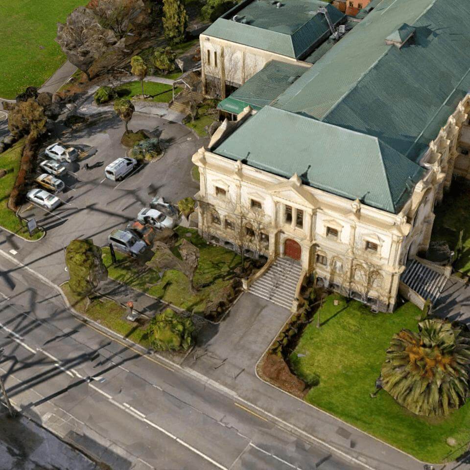
(c) Launceston City Council 2015
(CC)Licenced Under Creative Commons Licence - Attribution 3.0 Australia (CC BY 3.0)
Full Licence at:
http://creativecommons.org/licenses/by/3.0/au/
You are free:
- to copy, distribute, display, and perform the work
- to make derivative works
- to make commercial use of the work
Under the following conditions:
Attribution — You must give the original author credit.
(c) Launceston City Council 2013
Spatial Sciences Department
Contact 03 63233341
Map PROJECTION:
Projection: Universal Transverse Mercator(UTM), MGA Zone: 55.
Datum: GDA 1994.
SECURITY OF THE DATA:
You must acknowledge and attribute work based on this data to Launceston City Council, you are responsible for the use, supervision, management and control of the data and must ensure that the data is used under the licence terms at the url above.
DEFECTS:
You acknowledge that the data cannot be guaranteed as entirely current and error or omission free.
DISCLAIMER:
While all reasonable care has been taken to ensure the accuracy of the information portrayed in this data, its purpose is to provide a general indication of the location of Council services. The information provided may contain errors or omissions and the accuracy may not suit all users. A site inspection and investigation is recommended before commencement of any project based on this data.
